
A short one hour away from Bay area, is this beautiful state park, with good number of hiking options of varying difficulty levels.
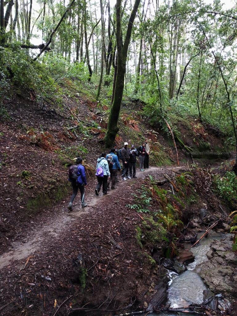
We did a 10-mile hike that started at the George’s Picnic Area via Aptos Creek Fire Road. And took the Bridge Creek trail to the Maple Falls.
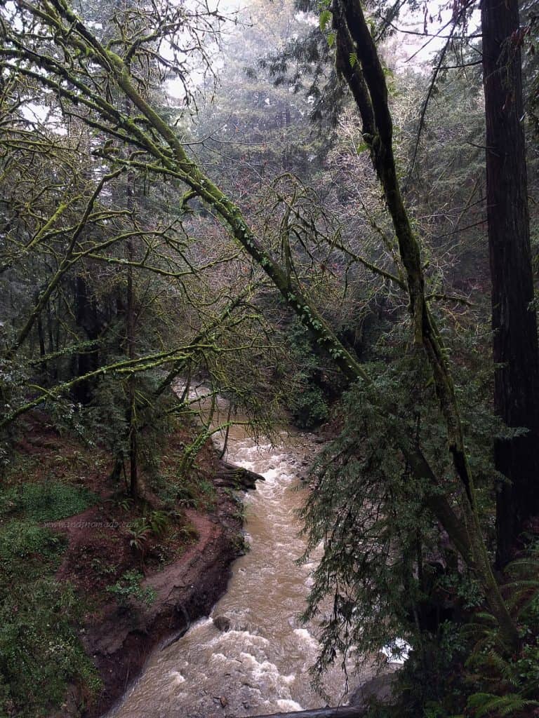
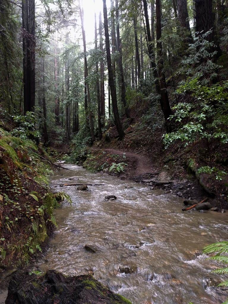
It’s a moderate-to-easy hike with few short uphills, some scrambling and about ~10 river crossings. Since it has been raining well in Bay area, the stream/river crossings really had some water to cross.
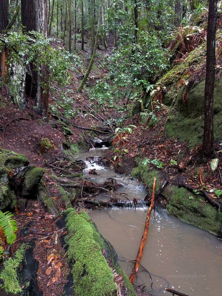
Most the stream crossings were just deep enough to soak the shoes. At the first stream, I removed the shoes and crossed barefoot and tried to keep the socks dry. Fairly quickly there were bunch more stream crossings and it was absolutely not worth the exercise of removing shoes.

Had I read the description better, I would have hiked on Tevas instead of hiking shoes. Especially given the terrain is not really that challenging. But, again, I am good at twisting my ankle, so it’s probably better to hike with wet hiking boots than Tevas.
After a certain point the trail seemed to have disappeared and we pretty much followed the foot steps on the mud and spoke to fellow hikers on the trail for more info. This section also included a mud-slide section.
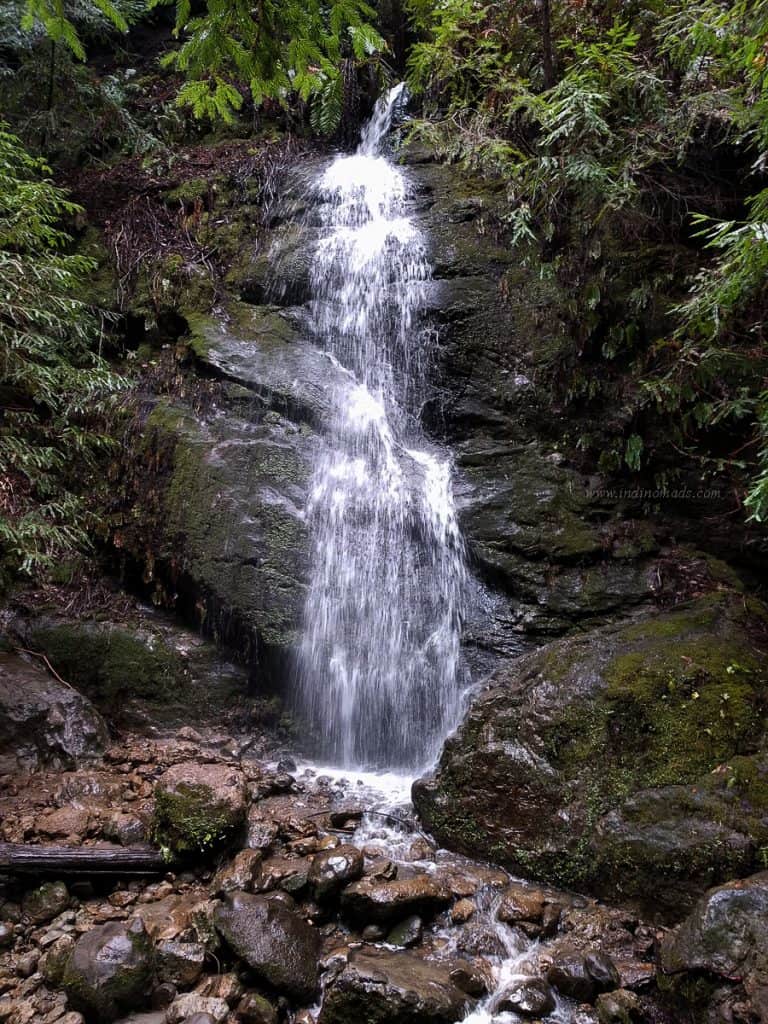
After what seemed like an ~5 mile hike, we reached a waterfalls and some of us were convinced thats the destination. However, we did meet other hikers returning and realized there is at least another 0.5 mile to go before reaching Maple Falls itself.
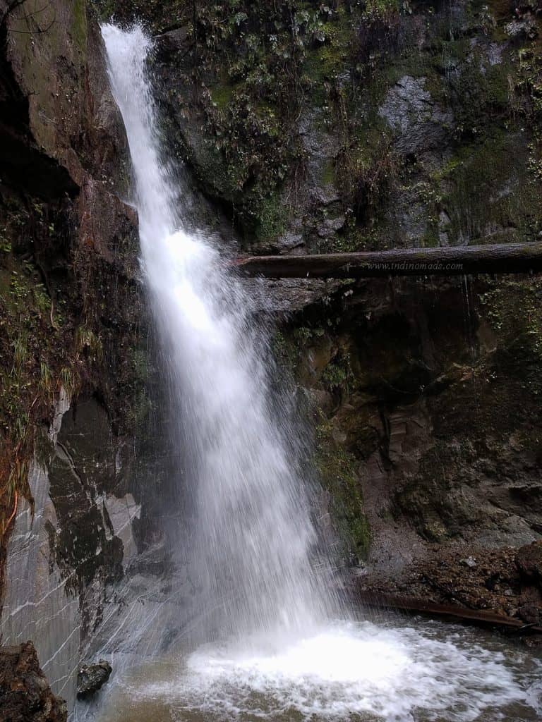
Near the Maple Falls, the last stream crossing was knee deep, at least at the point where I crossed it.
Final destination was well worth getting wet.
Depending on the time at hand, there are other detour options. Check the park here, for details.
Hike Stats:
Distance : ~10 miles
Group size: 13
Elevation gain: ~800ft
Duration: ~6 hours (stops for pictures, snacks and chit-chat. Fast hikers can easily cover it in 4hours.)