
Starting Point: Total Distance 11-miles
Skyline College, parking lot B. Hike towards Sweeney Ridge trail for a mile. And right on to Mori Point trail for 1.8-miles.
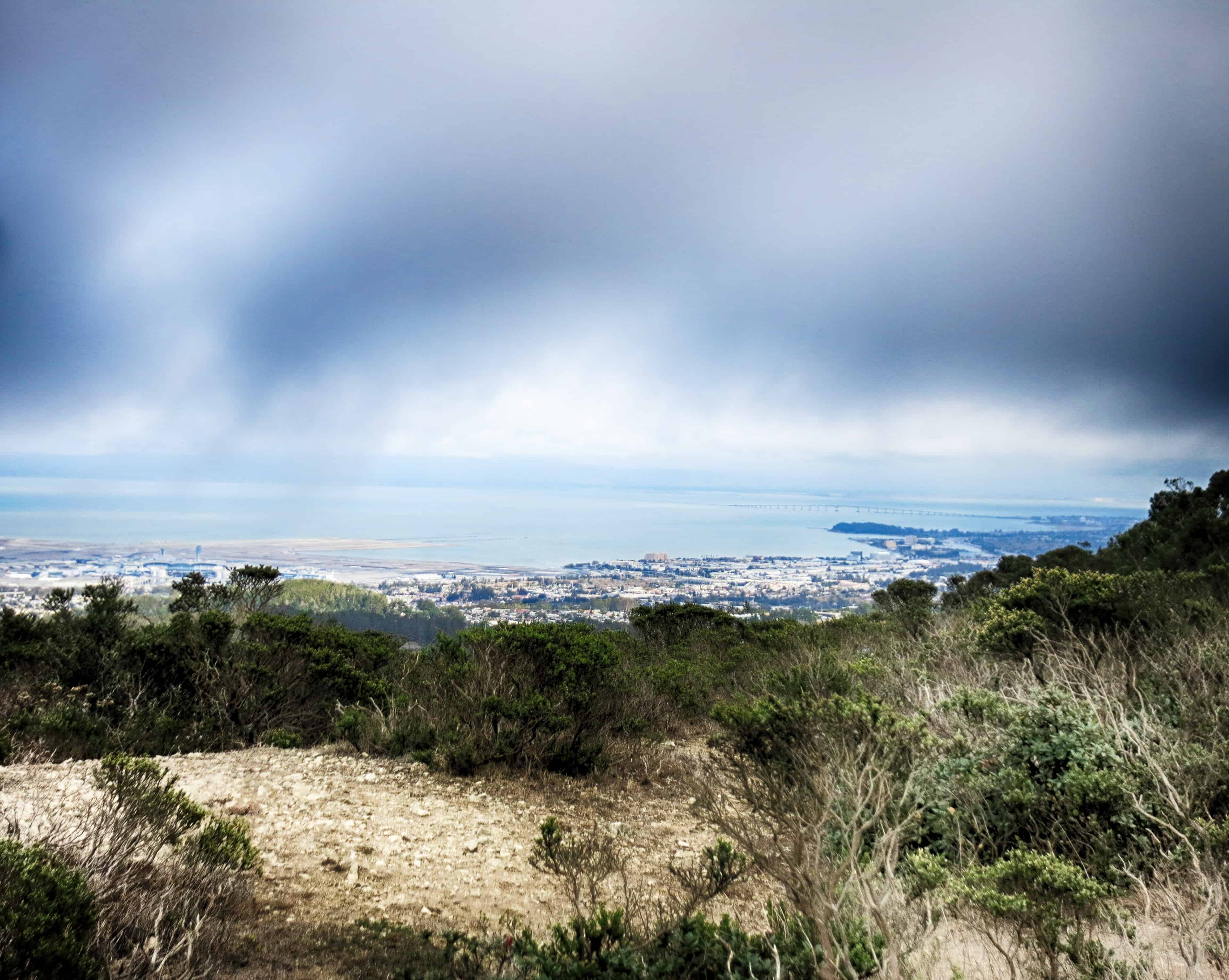
This 1.8-miles of downhill ends at the Orchid Garden. From here, take the paved road that leads to Hwy 1. Cross the road, carefully, to the entrance of Mori Point State Park.

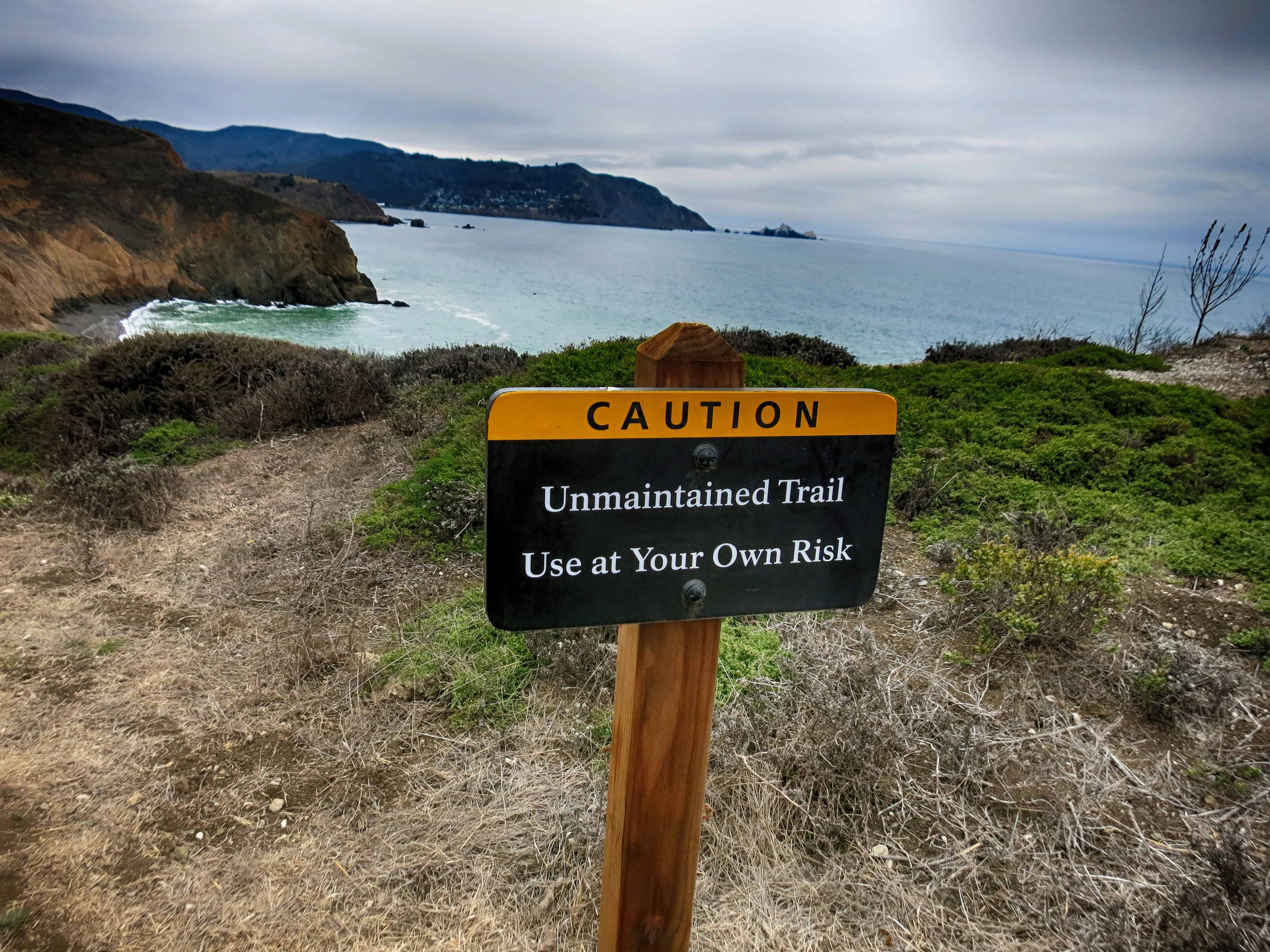
Start on the Lishumsha Trail and turn Left on Coastal Tr that leads to the Mori point overlook.
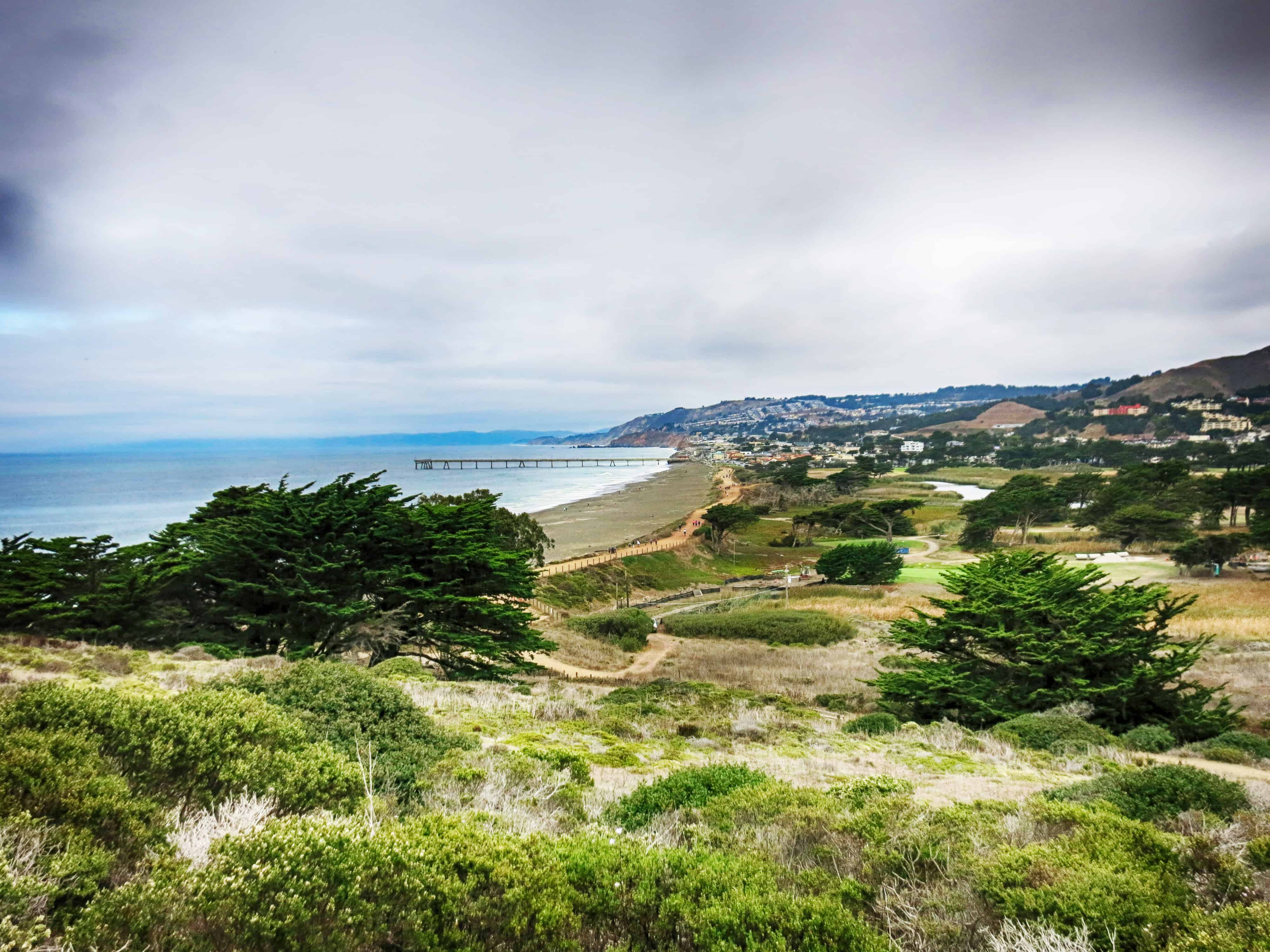
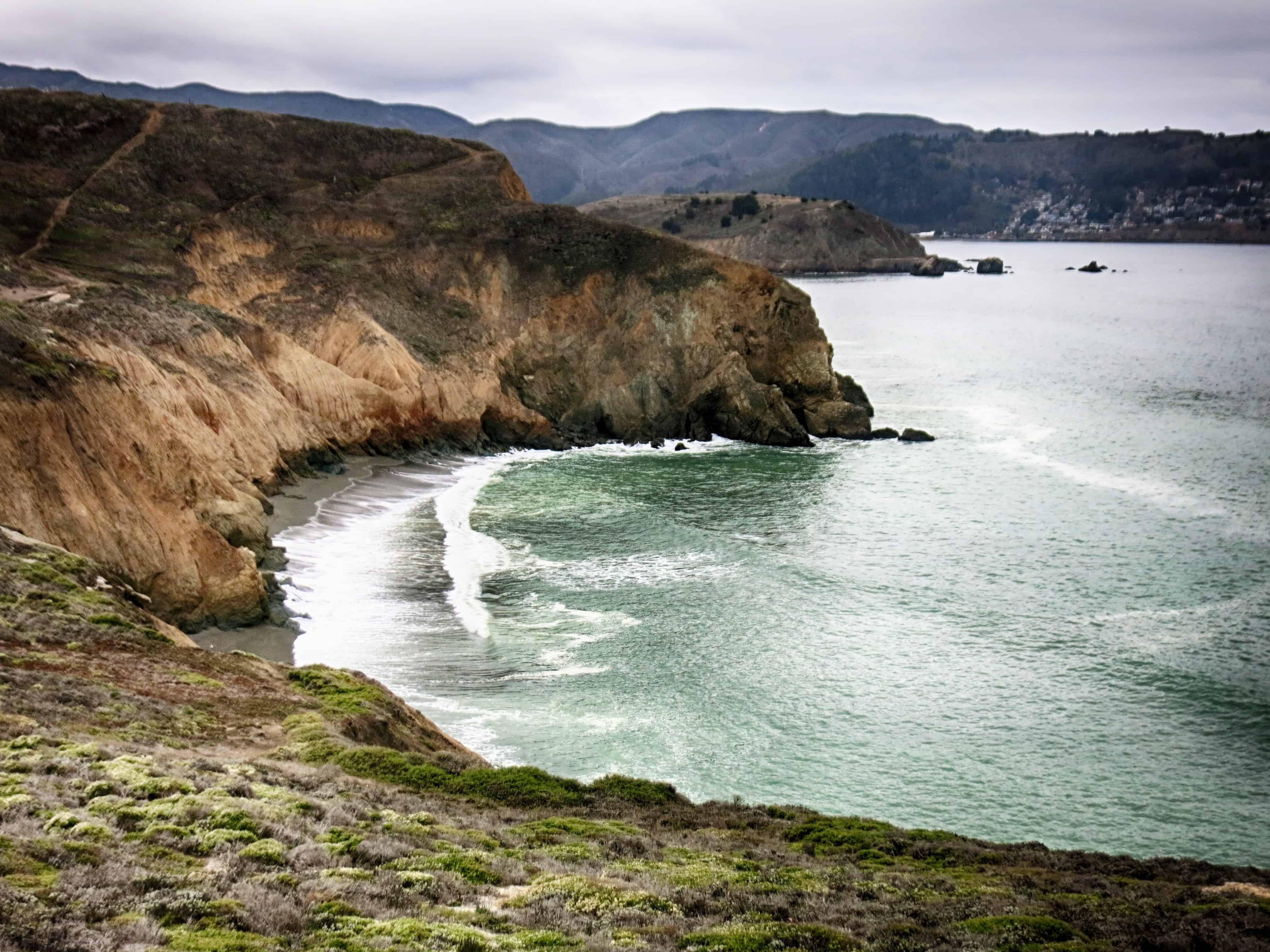
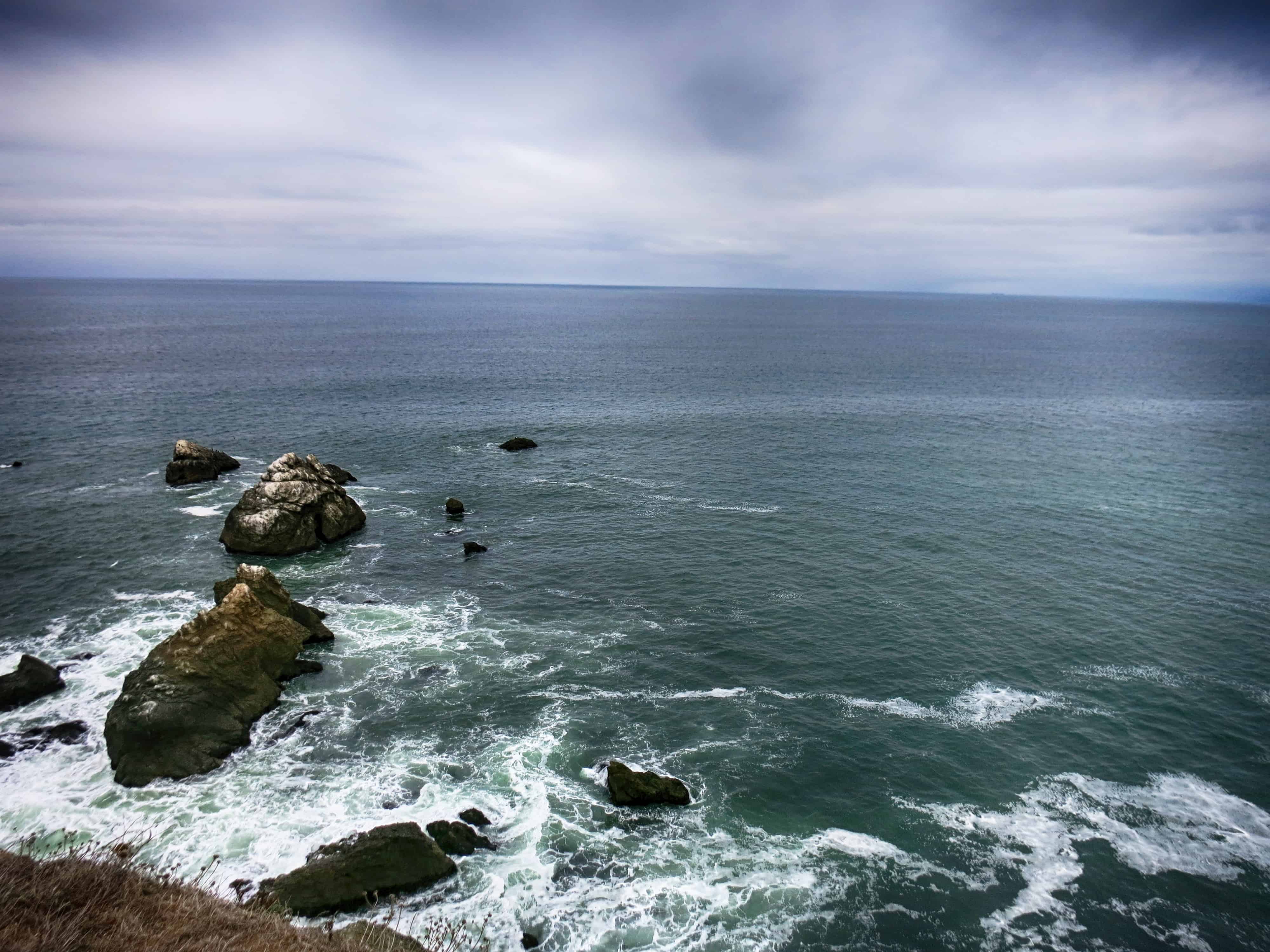
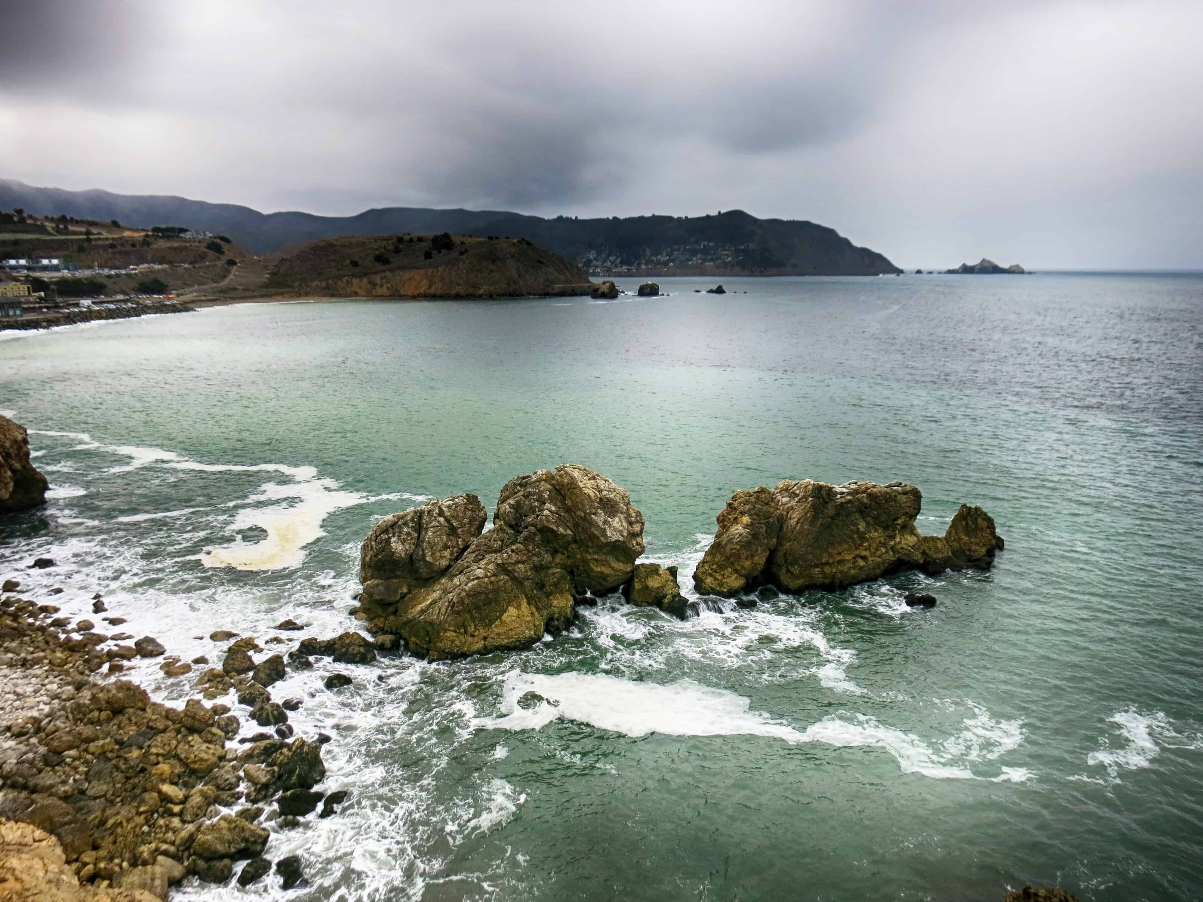
Once at the top, walk around the area to take in the view of beautiful rocks and find the “unmarked trail” that leads to Rockaway beach. It’s a beautiful walk along the ocean cliff to reach the beach. If you are not sure, just ask around for rockaway beach. But, you just have to walk over the hill and down to the beach.
While on your way to Rockaway beach, on Hwy 1, you will notice Shell gas station. Cross the Hwy 1 near Shell Gas Station.
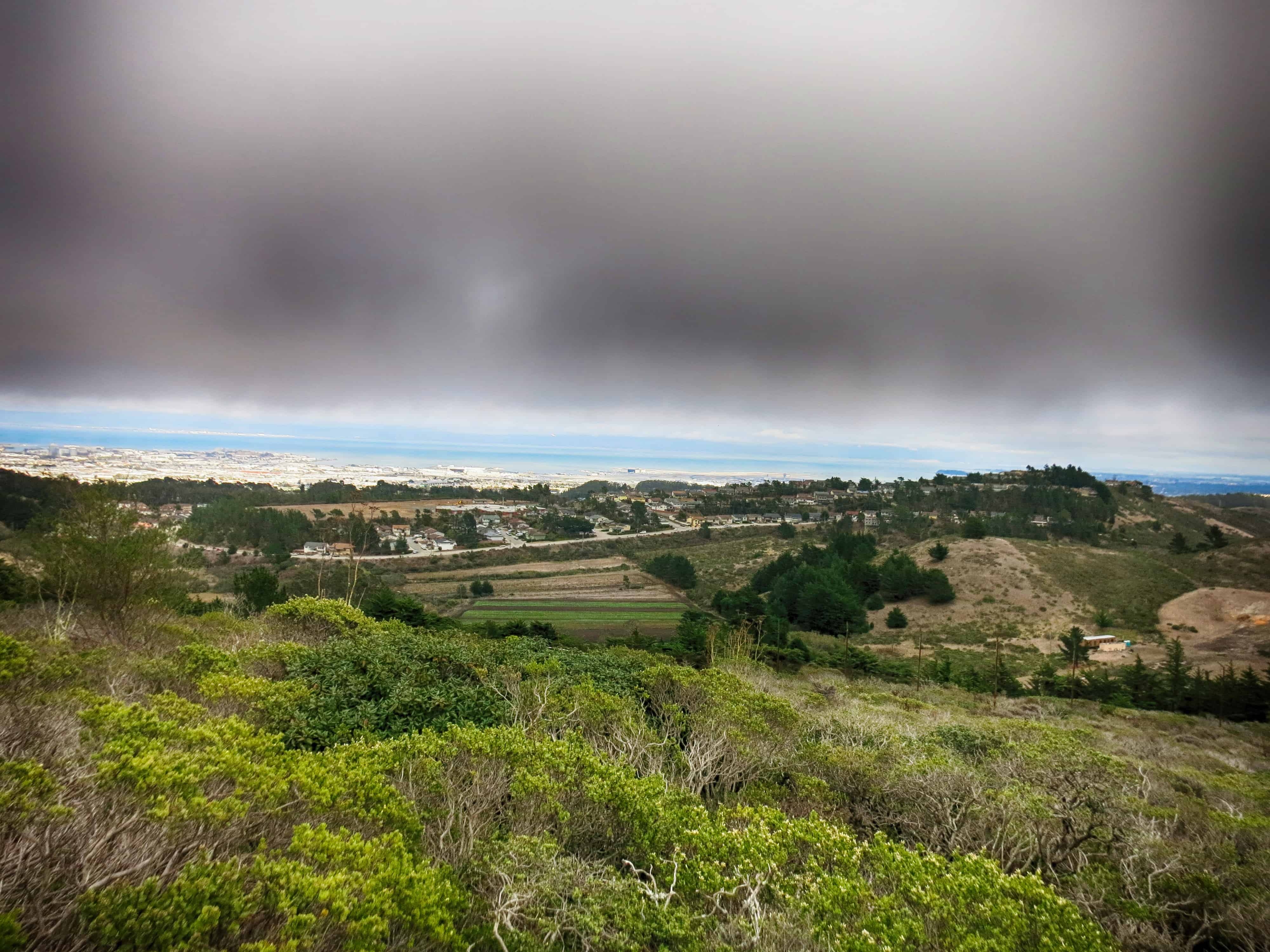
Walk a few feet north on Hwy 1 to the Church next to Shell gas station. Enter the parking lot of the Church, and right behind the church, there is another unmaintained trail that ascends up to about 1000ft. This part of the trail is shared with mountain bikes.
There is barely anyone at this part of the trail and just keep going uphill and trust that you will reach the Baquiano Trail. Stay on this trail until you reach Sweeney Ridge trail marking. At this point you will see Portola Exhibition monuments. Stay left on Sweeney Ridge and on the way there is a Nike missile site and a few abandoned buildings.

Continue on this trail and trace back to the Skyline College parking lot.
We got extremely lucky with weather. Clear day but cloudy and 63F.
If you don’t want to do the Sweeney Ridge and Mori Point loop and instead go for a shorter hike, you can just go to Sweeney Ridge Park or just the Mori Point State Park instead of crossing over Hwy 1.
Especially Mori Point peak from the parking lot is a fairly short hike and very kids friendly.

(Map from http://www.cityofpacifica.org/civica/filebank/blobdload.asp?BlobID=2784)