
Distance we covered: 11-miles.
Distance options: One can hike as little as 1-mile to any ultra distance.
We started at Rodeo Beach parking lot. Few reasons for starting from here are:
- Huge parking lot
- Flush toilet
- Drinking water
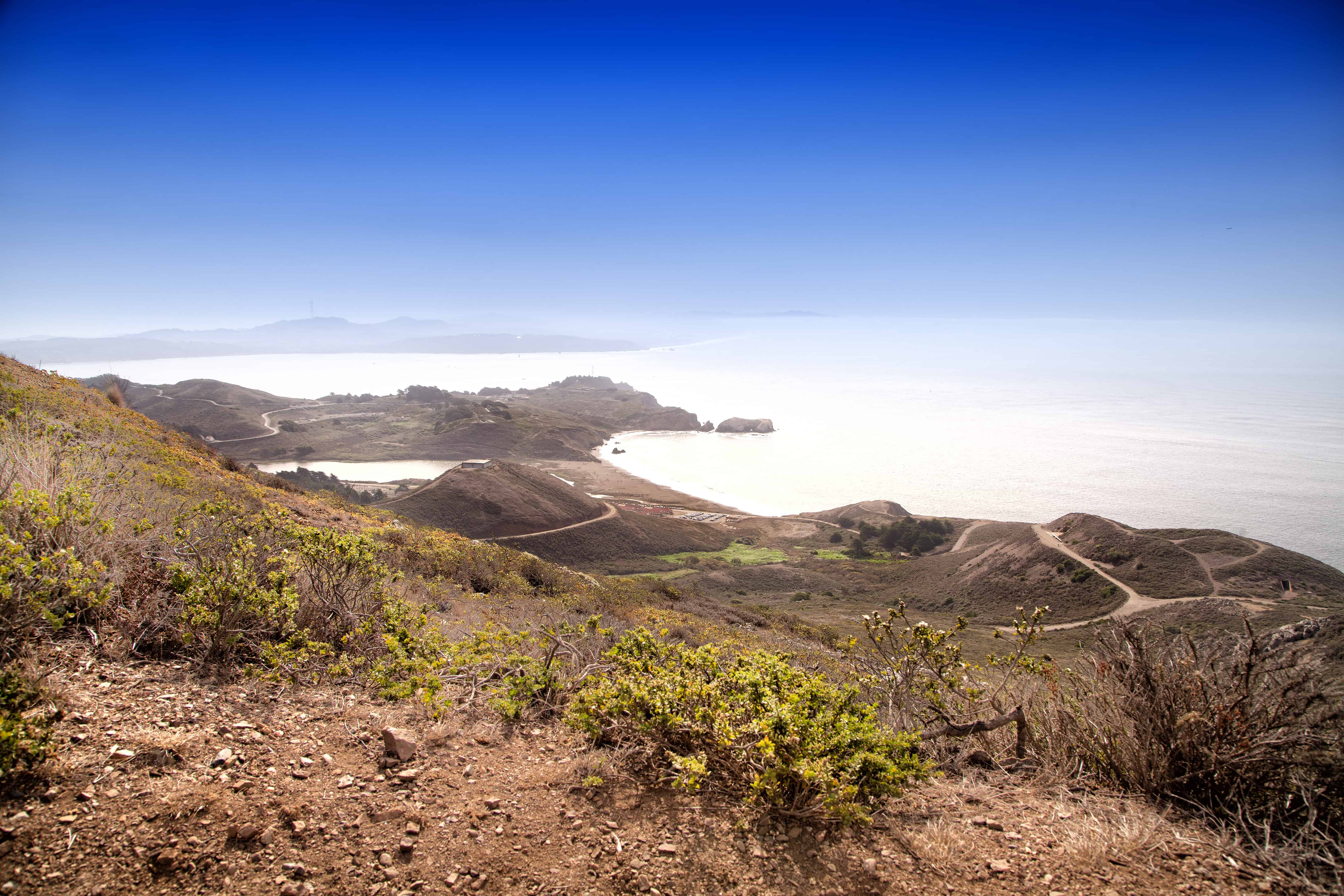
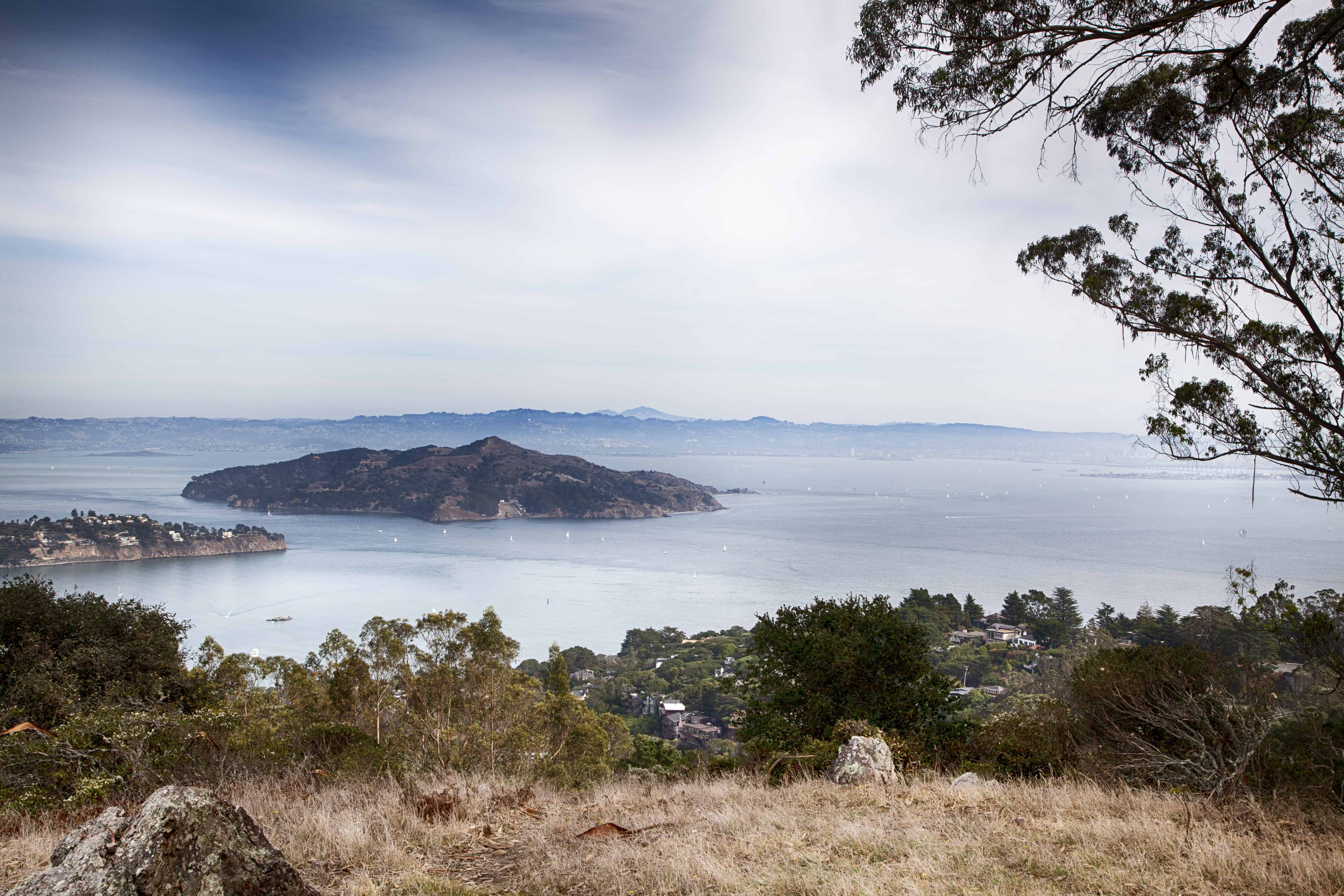
Our original plan was to get into Tennessee Valley area, but we missed the trail. However, it turned out to be a good thing in the end. We went in the direction on Miwok trail and towards Alta trail. These trails offer some of the best views of the peninsula, Angel Island and Alcatraz.
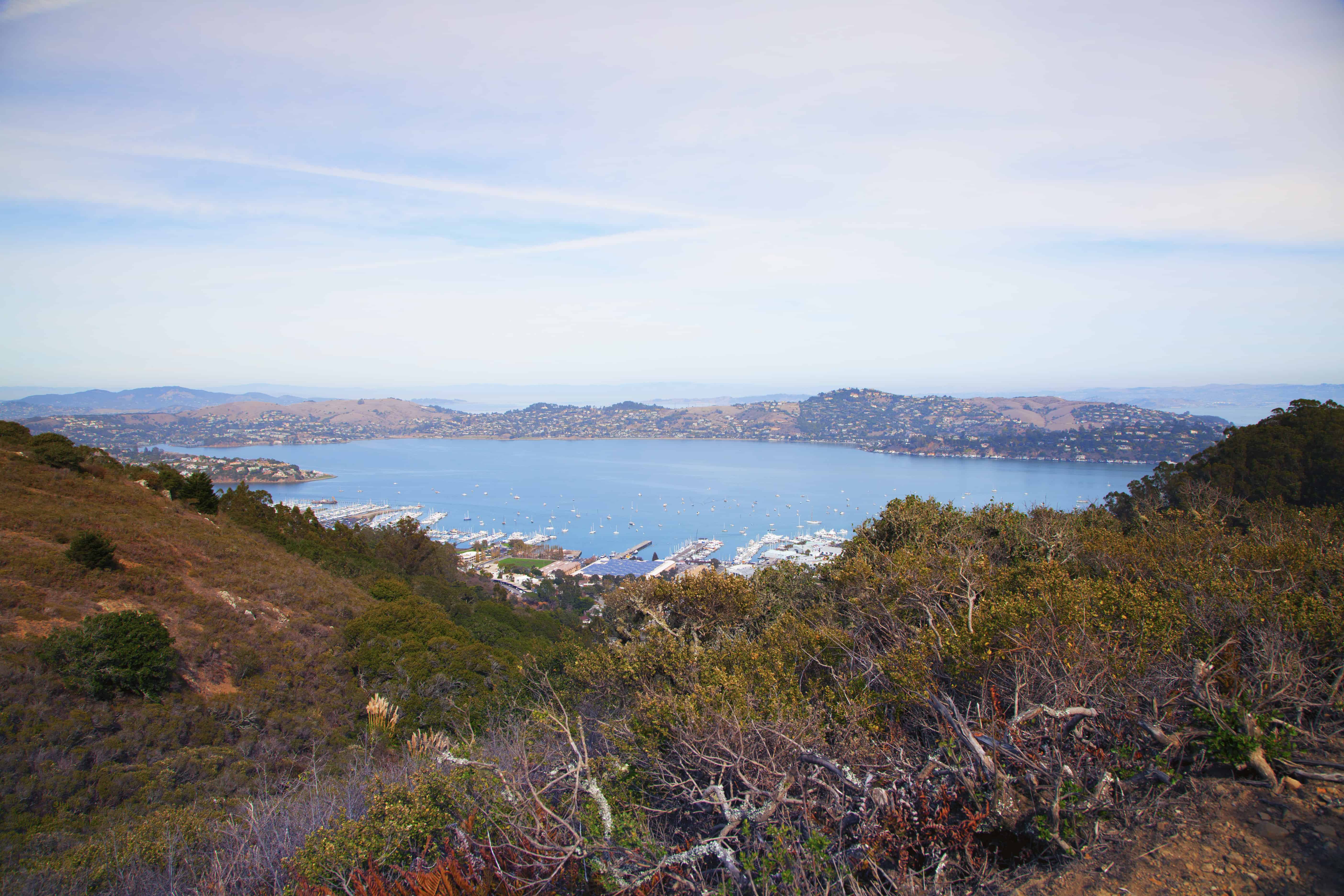
The picture above is from the vista point at Alta trail, overlooking Angel Island. There is a bench to stop for lunch break.
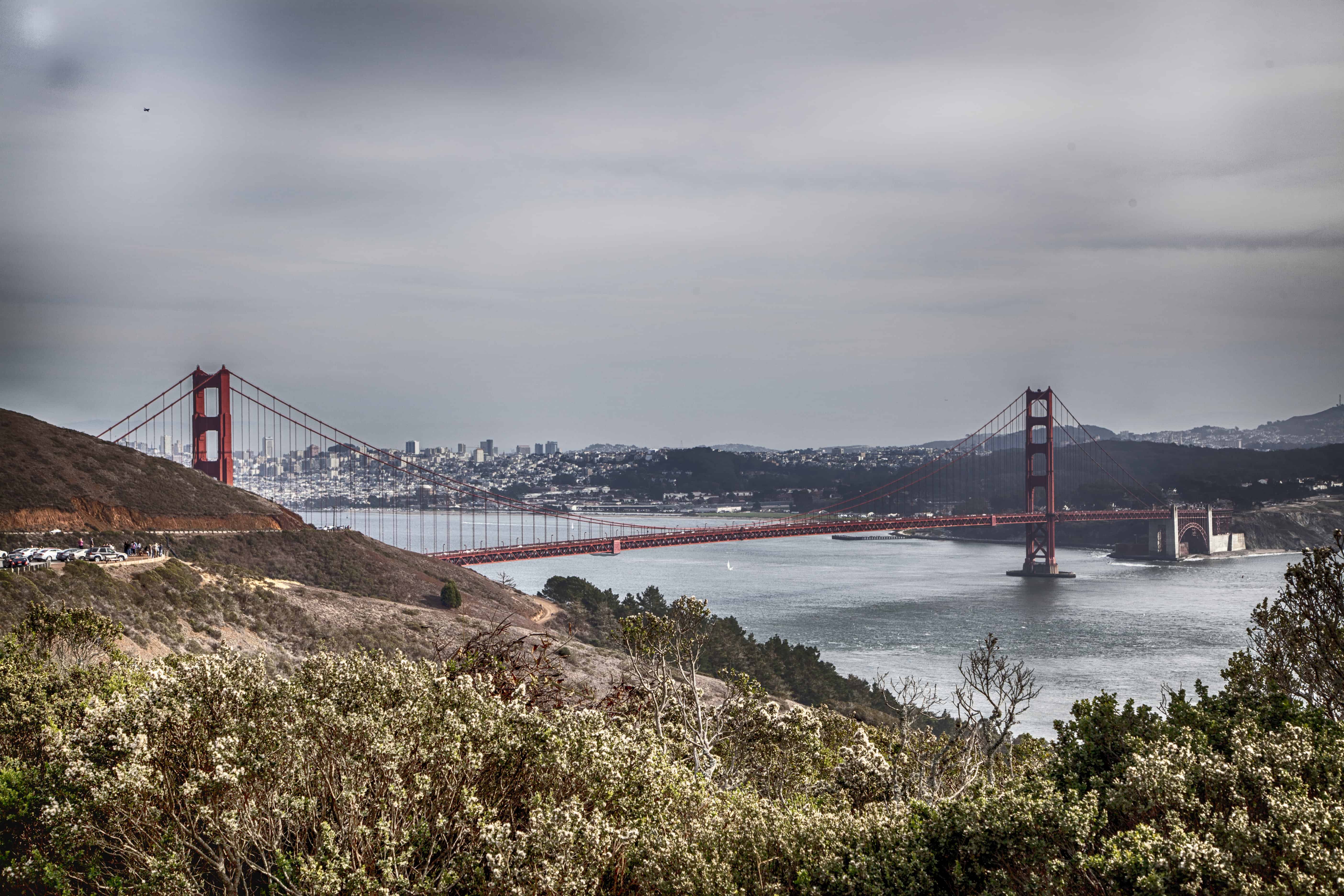
Walking through the only tree section on the trail is refreshing on a hot day. From this point, we took the SCA trail with spectacular views of the Golden gate bridge.
After taking tons of pictures of the bridge on that hazy & hot day, we continued to Coastal Trail to look back to Rodeo beach.
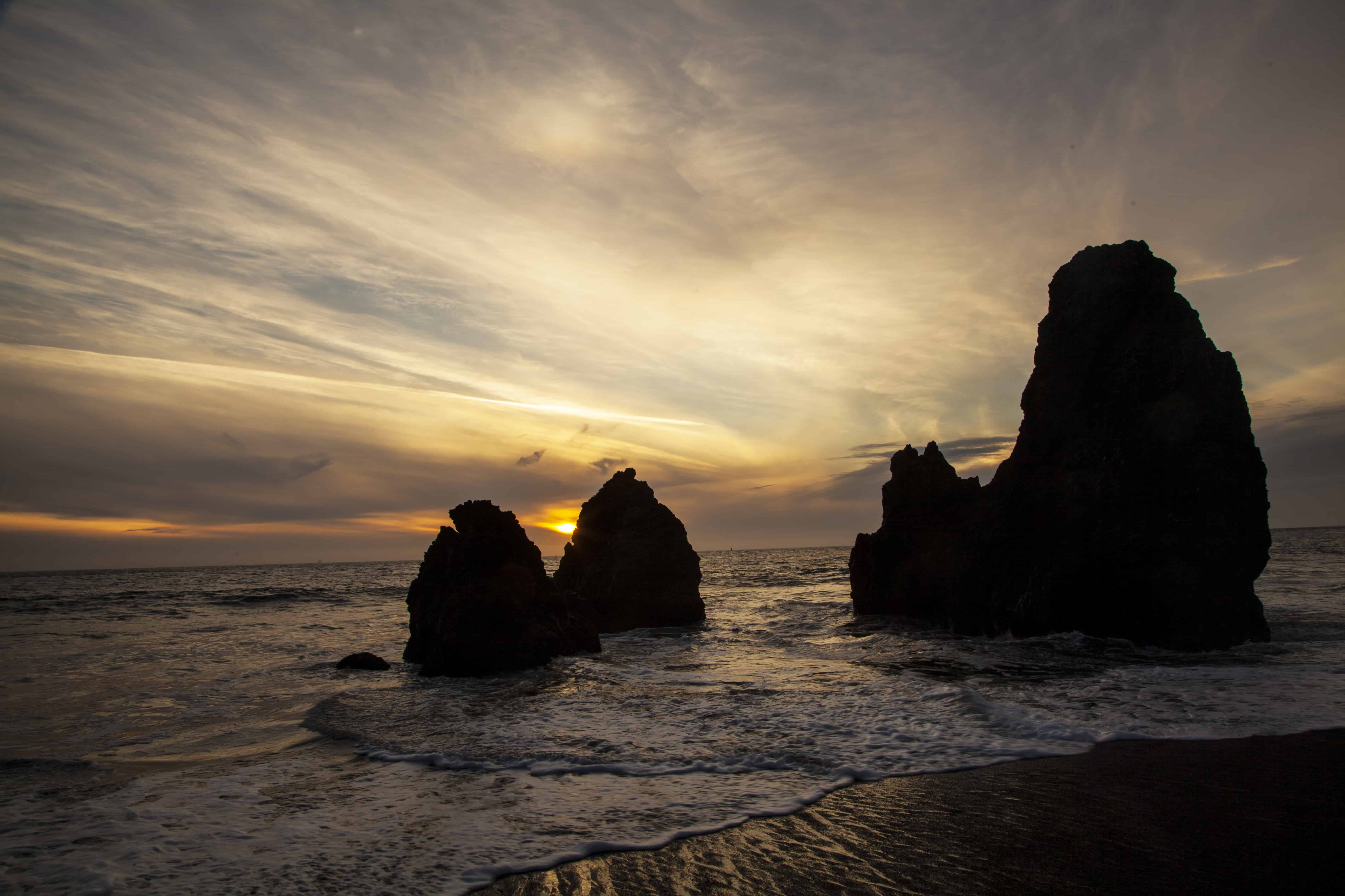
We reached the Rodeo beach by 5PM and stayed back near these “Three Amigos” rocks till sunset.
You can download the latest park map here at: http://www.parksconservancy.org/assets/park-improvements/pdfs/marin-headlands-map.pdf
The trails are very well marked and the map comes in really handy.