How to Hike Mavericks Cliffs Trail – Half Moon Bay, CA

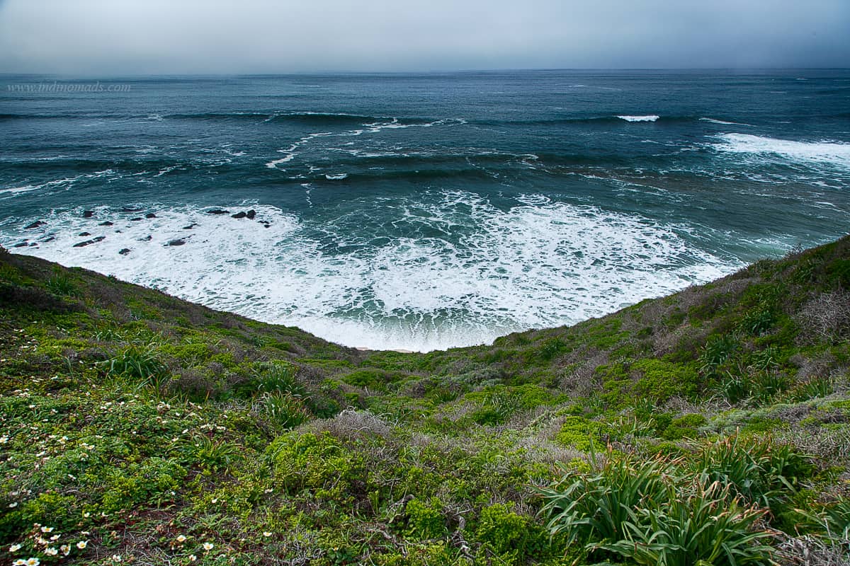
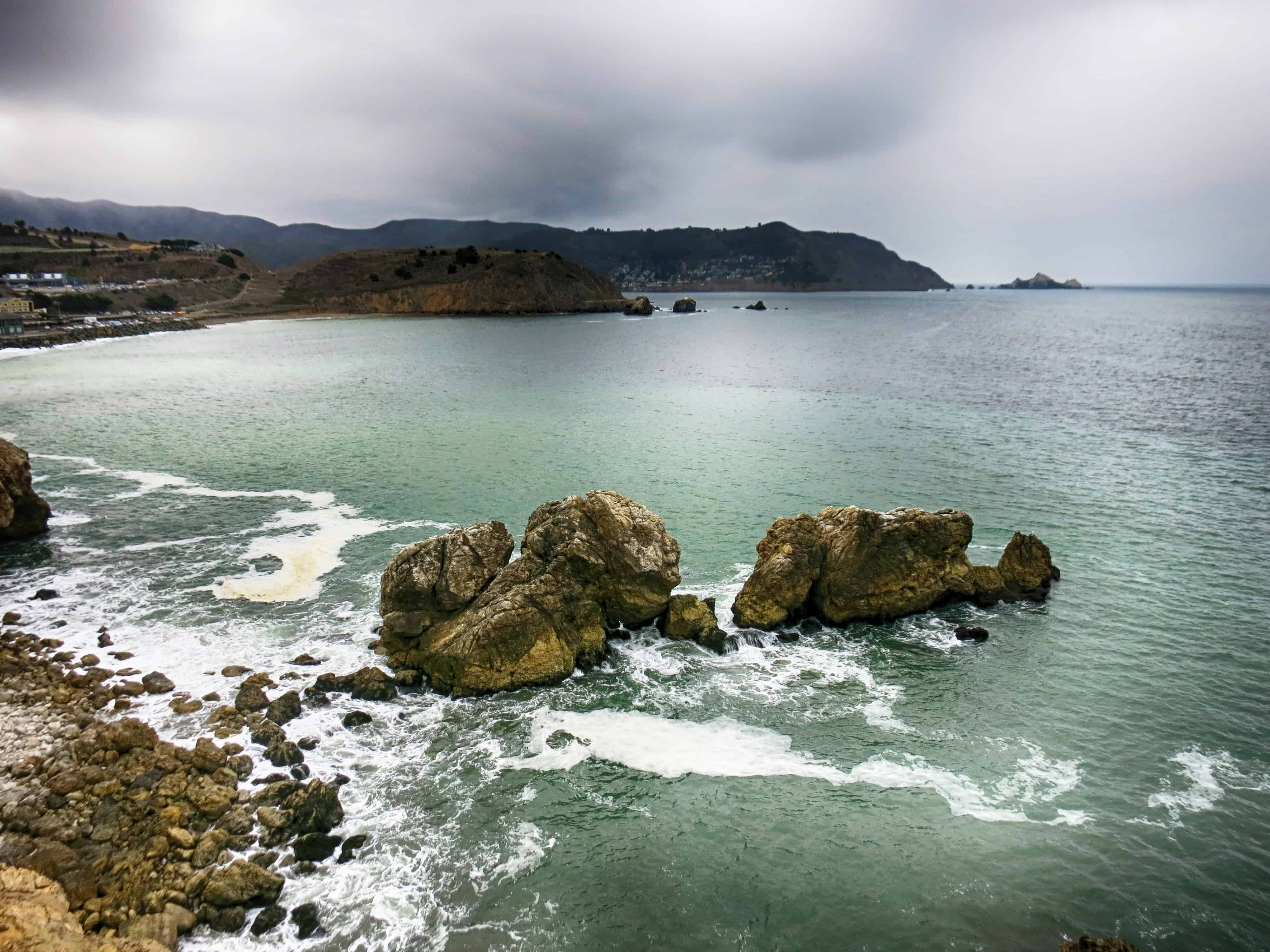
Just an hour drive from south bay, Mavericks Cliffs Trail at Half Moon Bay is an easy hike along the cliffs overlooking the world famous Mavericks surfing and stunning half moon bay coastline view. Mavericks Cliffs Trail & Pier California weather is one to take advantage of when it comes to outdoor activities. Any time …

Read moreHow to Hike Mavericks Cliffs Trail – Half Moon Bay, CA

North Peak at Mt. Diablo State Park, CA

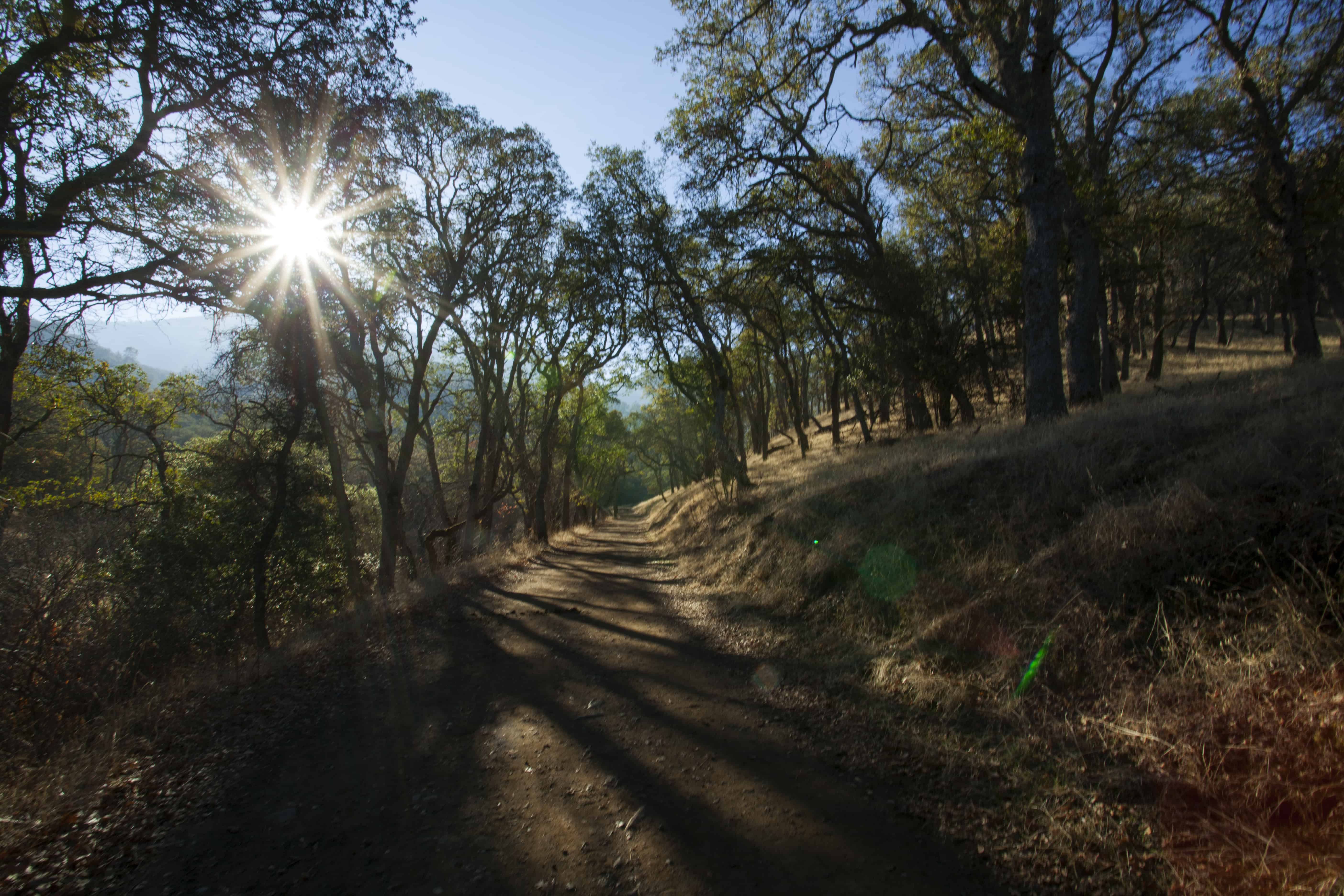
Another backyard mountain worth exploring and get a great workout from some of the steepest trails in the bay area. (Image source: www.parks.ca.gov) We drove to Regency Drive entrance to start the 11-mile hike to Mt. Olympia Peak, followed by North Peak. We started the hike at 8:50AM. Address for GPS : 313 Mountaire Pkwy, Clayton, …

Read moreNorth Peak at Mt. Diablo State Park, CA

Sweeney Ridge and Mori Point loop – San Bruno, CA

Starting Point: Total Distance 11-miles Skyline College, parking lot B. Hike towards Sweeney Ridge trail for a mile. And right on to Mori Point trail for 1.8-miles. This 1.8-miles of downhill ends at the Orchid Garden. From here, take the paved road that leads to Hwy 1. Cross the road, carefully, to the entrance of Mori …

Read moreSweeney Ridge and Mori Point loop – San Bruno, CA

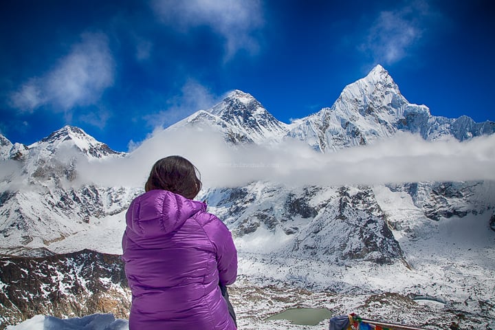
Altitude Sickness Lessons !!

After having spent nearly a couple of months at higher altitude, we collectively seem to have experienced pretty much every symptom of altitude sickness, only the mild versions thankfully. Here is a summary of the lessons learned: 1) Drink water forcefully: Dehydration is the major cause of headache at higher altitude. People tend to think …

Read moreAltitude Sickness Lessons !!