
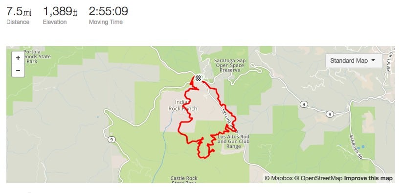
Here is the link to Strava Map: https://www.strava.com/activities/1030567590
Starting point of the hike: https://goo.gl/maps/DiDSbWzvb5A2
This intersection has a few different trail starting points. We parked at the designated parking lot and started at the Skyline Trail (1.7 miles) towards Laughry Woods trail (1.8 miles). From Skyline trail you have to cross the main road to reach Laughry woods.
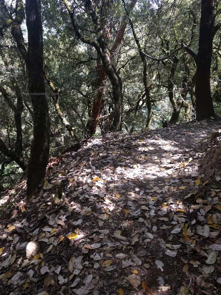
Both of these trails are marked with name boards.
At the end of the Laughry trail, you have to take a short 0.2 mile walk on the service road. Go in the direction of the campground to continue our route.
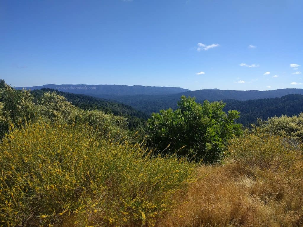
Next take Frog Flat Trail for 0.6 miles and then the Saratoga Gap Trail for 2.7 miles.

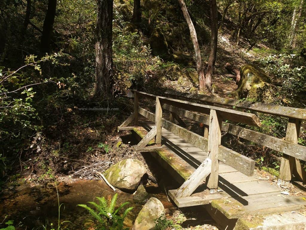
After a few meters on this trail, you will see a board for the trespassing and private road. The board said issue yourself a self-signed pass. But the box was empty, there was no passes to be found.
Plus from this point on, the hike is on a paved road for a good 2-miles. This part of the hike was bit boring to be honest.
Just keep following the “Trail” sign on the road until you reach the real trail. From this point on it’s a 0.4 miles to the parking lot.
Park link for other trails:
http://www.parks.ca.gov/pages/21299/files/crmap.pdf